
Sist oppdatert:
Laster dato...
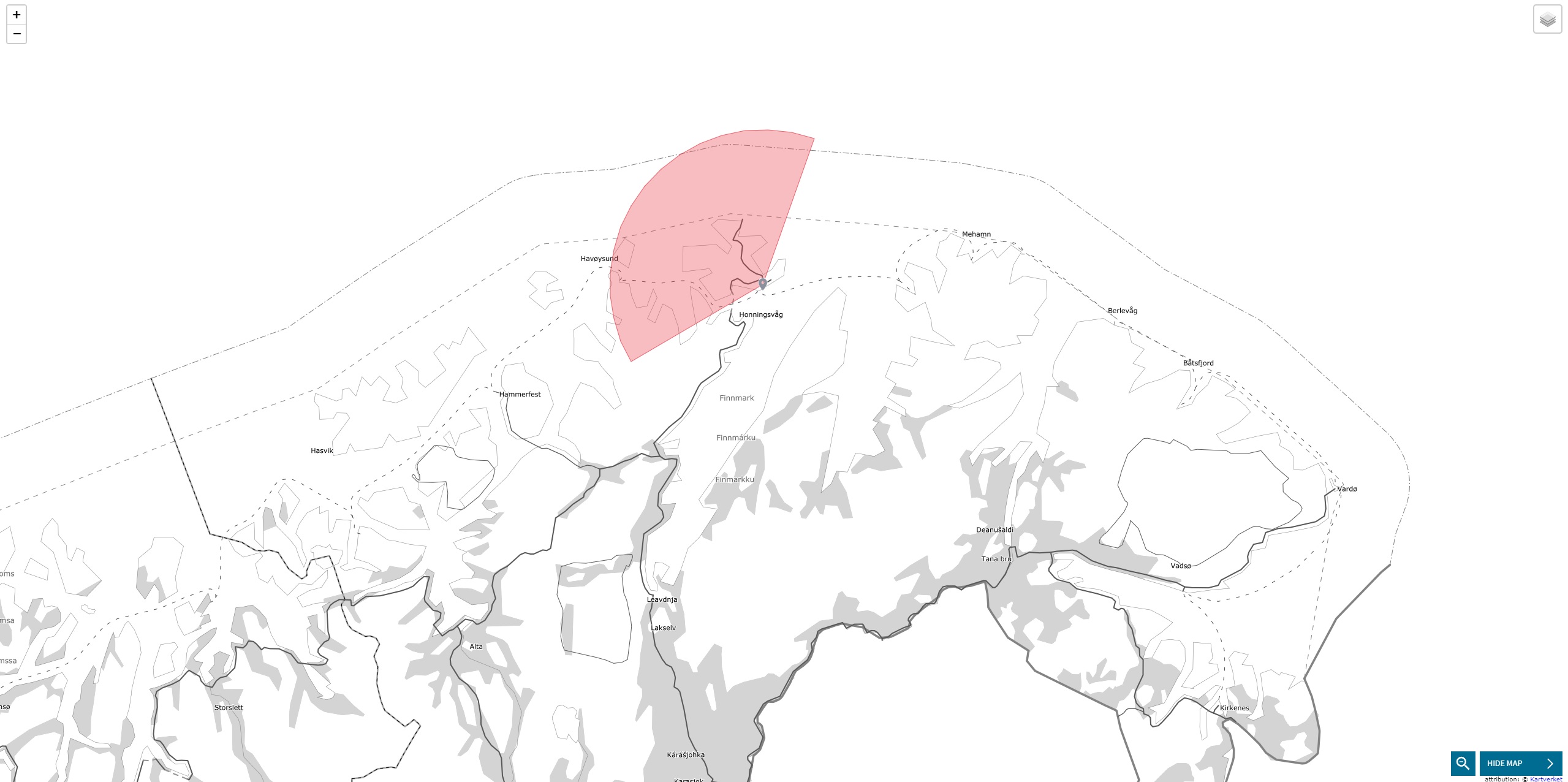
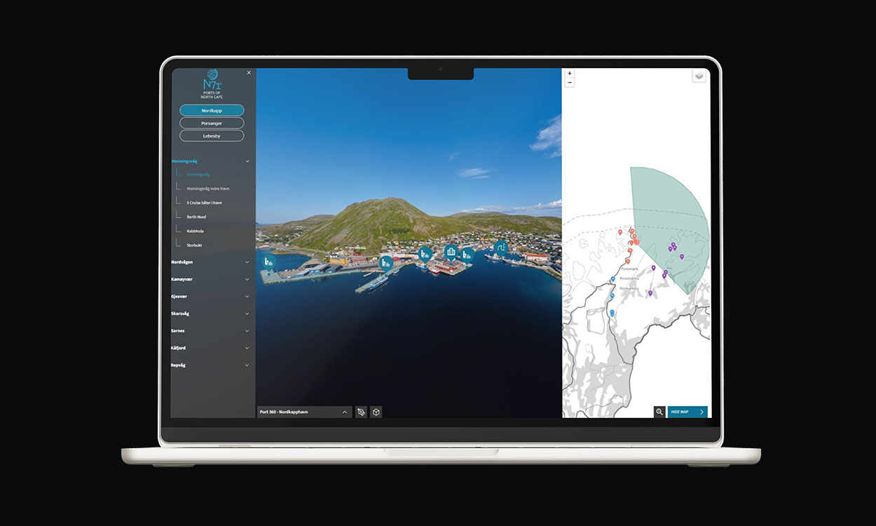
Kart
Prøv kart:
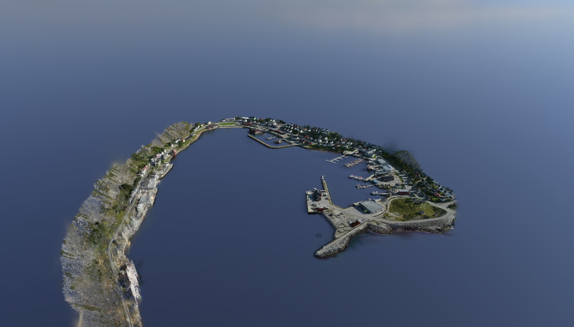
3D (3DGS)
Prøv en 3DGS-visning av Kjøllefjord:
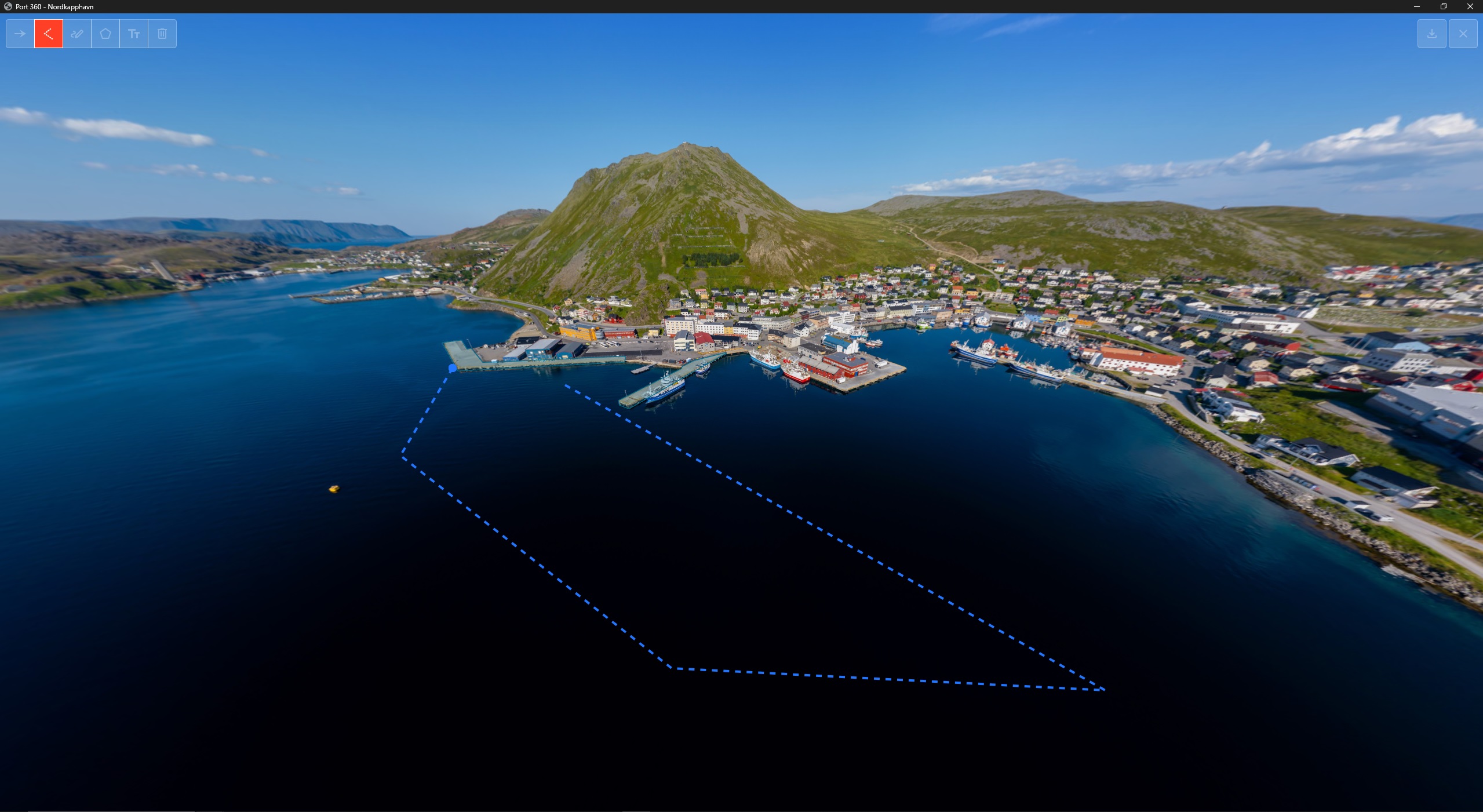
Draw and Symbol Function
Try the Draw and Symbol Function:

Sist oppdatert:
Laster dato...
Prøv kart:
Prøv en 3DGS-visning av Kjøllefjord:
Try the Draw and Symbol Function: